Trail of the Coeur d'Alenes
Mullan Trailhead
115 2nd St Mullan, ID
Easy to Find | Ample Parking | Restrooms
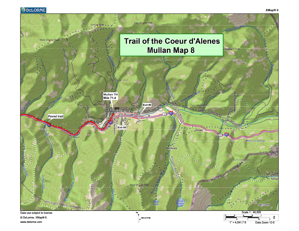
The Mullan Trailhead is near the eastern terminus of the Trail of the Coeur d’Alenes. It is located in downtown Mullan, Idaho.
If you’re traveling westbound on Interstate 90 from Spokane or Coeur d’Alene, take exit 68. The trailhead is just off the exit on the north side of I-90. If you are travelling from Montana, take exit 69. Turn right at the stop sign and then turn left on River St. Follow River St to the trailhead.
This trailhead has ample parking and is rarely full. The trailhead has restrooms but no picnic tables.
The town of Mullan features a City Park, The Captain John Mullan Museum and The Outlaw Bar & Grill. It is also home to one of the last remaining mines in the Silver Valley – The Lucky Friday Mine. The Lucky Friday mine is one of the top 7 primary silver mines in the world.
Streetview: Mullan Trailhead, Mullan Idaho
Google Map: Mullan Trailhead, Mullan Idaho
Fun Fact about Mullan
The Trail of the Coeur D Alenes doesn't actually end at the Mullan Trailhead. Head down Fisher and Earle Street and follow the Tiger prints to Mullan High School, home of the Mullan Tigers. There you'll find end of the trail. Feeling adventurous? Keep following the forest service roads, all the way to the Route of the Hiawatha.
The Ride - Mullan to Wallace
6.8 Miles
The ride from Mullan to Wallace is perhaps the easiest section of the Trail of the Coeur d’Alenes. There an elevation drop of approximately 250 ft over a 6.8 mile ride. This makes for easy, gradual downhill cycling.
The trail traces Interstate 90 in this area so the road noise is noticeable. If you can put in your headphones though and just enjoy the scenery, it’s spectacular.
Because of the surrounding mountains, this area does not receive a lot of sunshine. If you’re riding in the morning, especially in the Spring or Fall, bring some light layers that can be removed later on in your ride.


